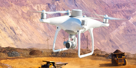
SITECH Drones Services & Trimble® Stratus.

Trimble Stratus makes it easy to track your worksite’s progress survey-to-survey and survey-to-design. Uploading drone data and ground control to Stratus, anyone can get cm-accuracy terrain models and enable the whole team to view the site’s status, take measurements, and collaborate. We’ll cover the benefits and workflows of an effective drone surveying programme.
PRESENTED BY IAN BARNES – SITECH & JAN WOUTER KRUYT – PROPELLER
If you want more information about anything you have seen in the this webinar, please complete the contact form, and a member of the SITECH UK & Ireland team will be in touch.